
The Source
Charting a More Perfect Union
By Michael K. Shaffer · Originally published January 2023 · p. 30
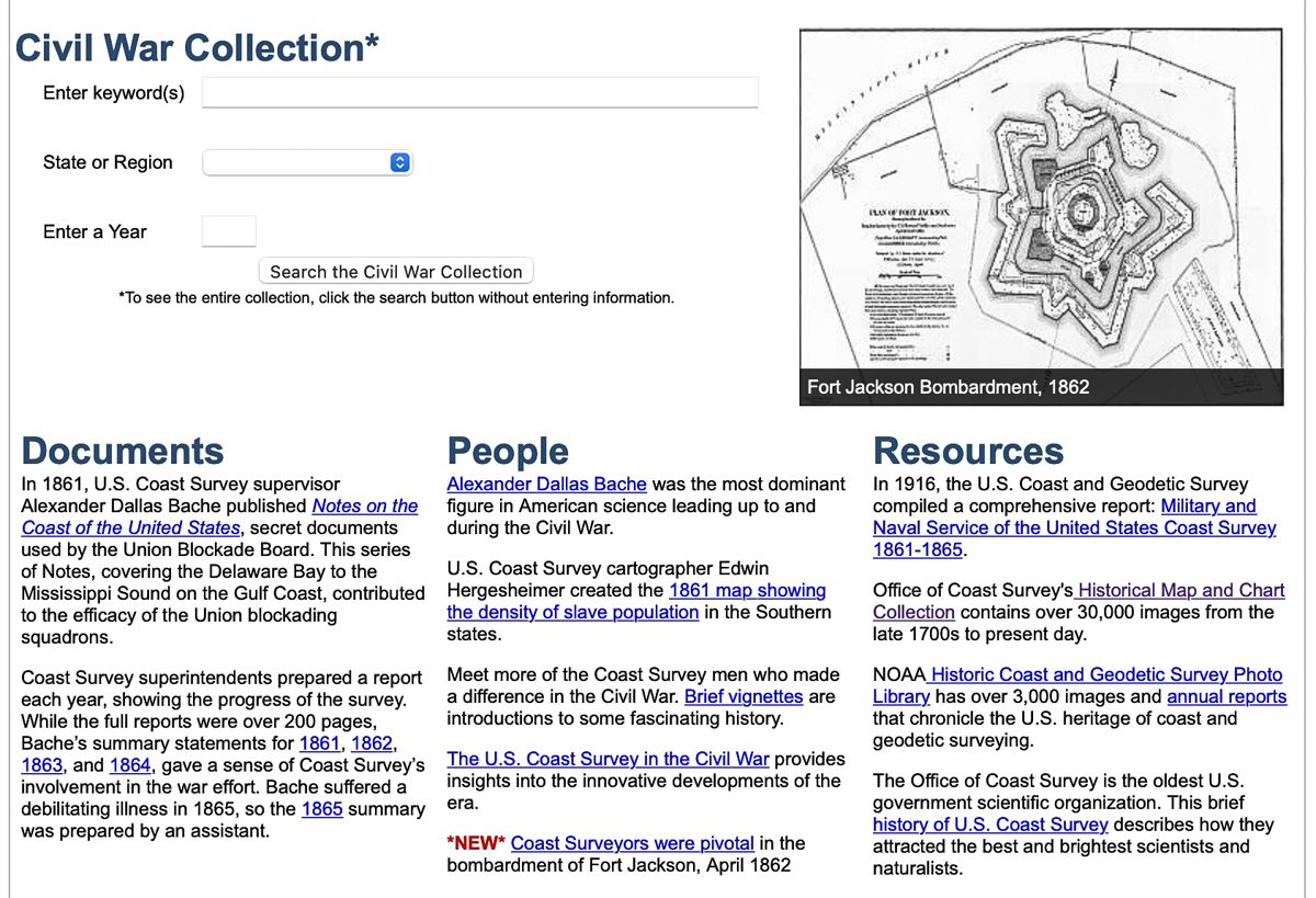
Georgia search results coast survey. Researchers seeking information on coastal operations during the American Civil War will benefit from mining the collection of almost 500 wartime maps and sketches of fortifications, as compiled through the Office of Coast Survey. These maps and illustrations and various publications populate the Charting a More Perfect Union website at https://historicalcharts.noaa.gov/CivilWar/index.html. The image at the top shows that users can conduct searches using various criteria. The writer selected Georgia in the ‘State or Region’ box for this example. The results yielded 30 archival hits, which one can sort in various methods. See the search results image above.. On the top right is the image of the fortification on Sapelo Island, Ga., as drawn in 1863. Various sketches of the fortifications protecting Savannah reside in this database, including a detailed drawing of Forts Tattnall and Lee in the Savannah River (see image on the right). Spend some time investigating this material, which covers many sections of the country. Next month’s column will explore Civil War publications housed on the Office of Coast Survey website. Until then, continued luck in researching the American Civil War! Michael K. Shaffer is a Civil War historian, author, lecturer, and instructor, who remains a member of the Society of Civil War Historians, Historians of the Civil War Western Theater, and the Georgia Association of Historians. Readers may contact him at [email protected] or request speaking engagements at www.civilwarhistorian.net. Follow Michael on Facebook, www.facebook.com/michael.k.shaffer, and Twitter @ michaelkshaffer.
Charting a More Perfect Union NOAA’s Historical Map & Chart Collection
Sapelo earthworks.