This And That
A Battlefield and Much, Much More
By Gould Hagler · Originally published October 2018 · pp. 26–27
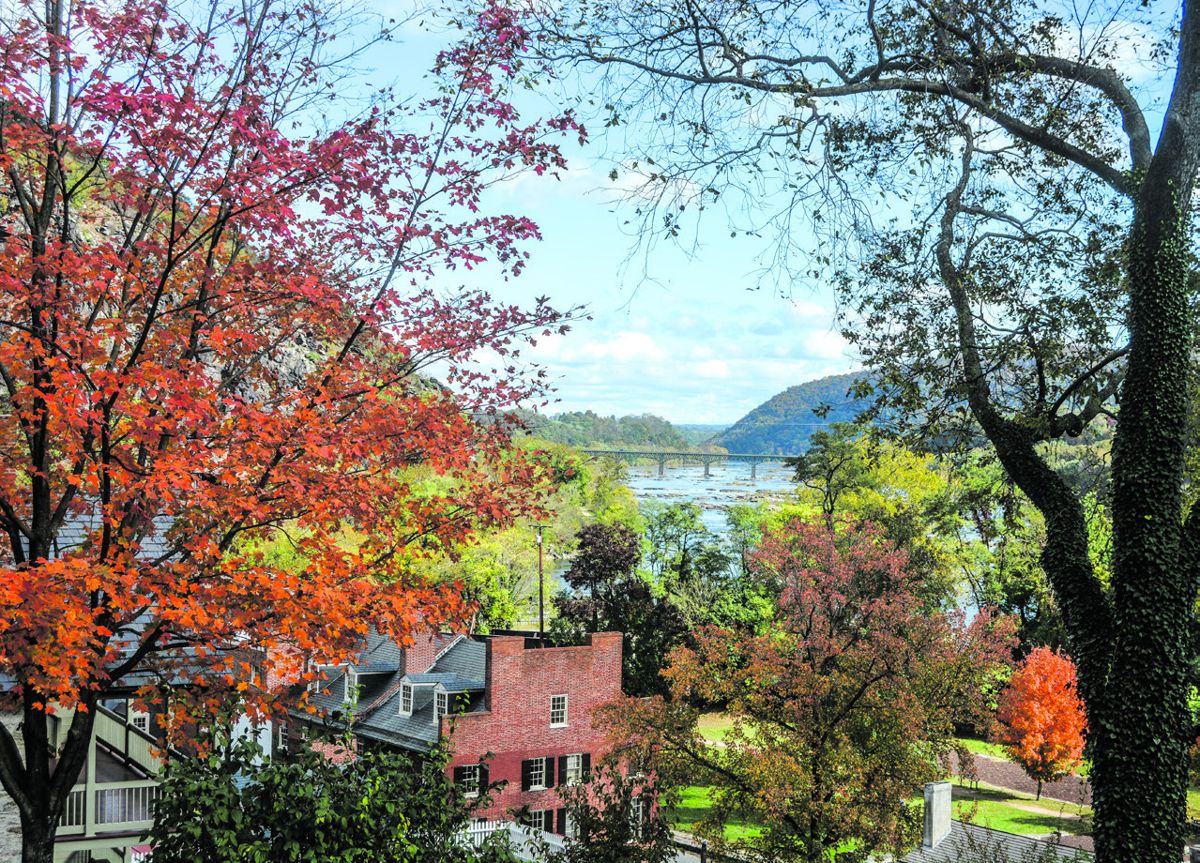
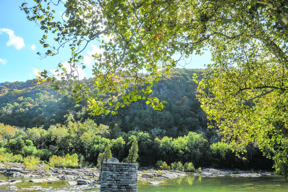
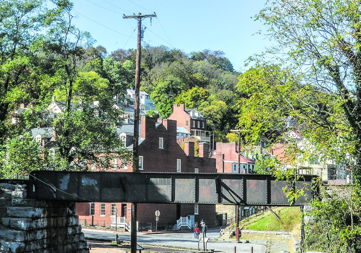
For many years I attended an annual conference in Washington. For a few of those trips I left early with some friends and spent a weekend touring battlefields before we motored into the Capital. The one trek I skipped was the year Harpers Ferry was on the itinerary. My friends told me I had missed one of the most interesting stops on the trail. From their descriptions I knew they were right. After some time, just last fall, I learned how right they were. In the 1790s Harpers Ferry (then Virginia, of course, now West Virginia) was chosen as the location of a U.S. Armory. One reason for the location was its position in the nation’s interior, a place safe from enemy attack. However, when the one nation became two, the geography of Harpers Ferry became a serious liability. If you stand at the intersection of Potomac and Shenandoah streets you will see why. Look to Maryland Heights to your left, across the Potomac River, and to Loudon Heights across the Shenandoah on your right. Consider Bolivar Heights to your rear, above the town. Raise the white flag. Your position is indefensible.
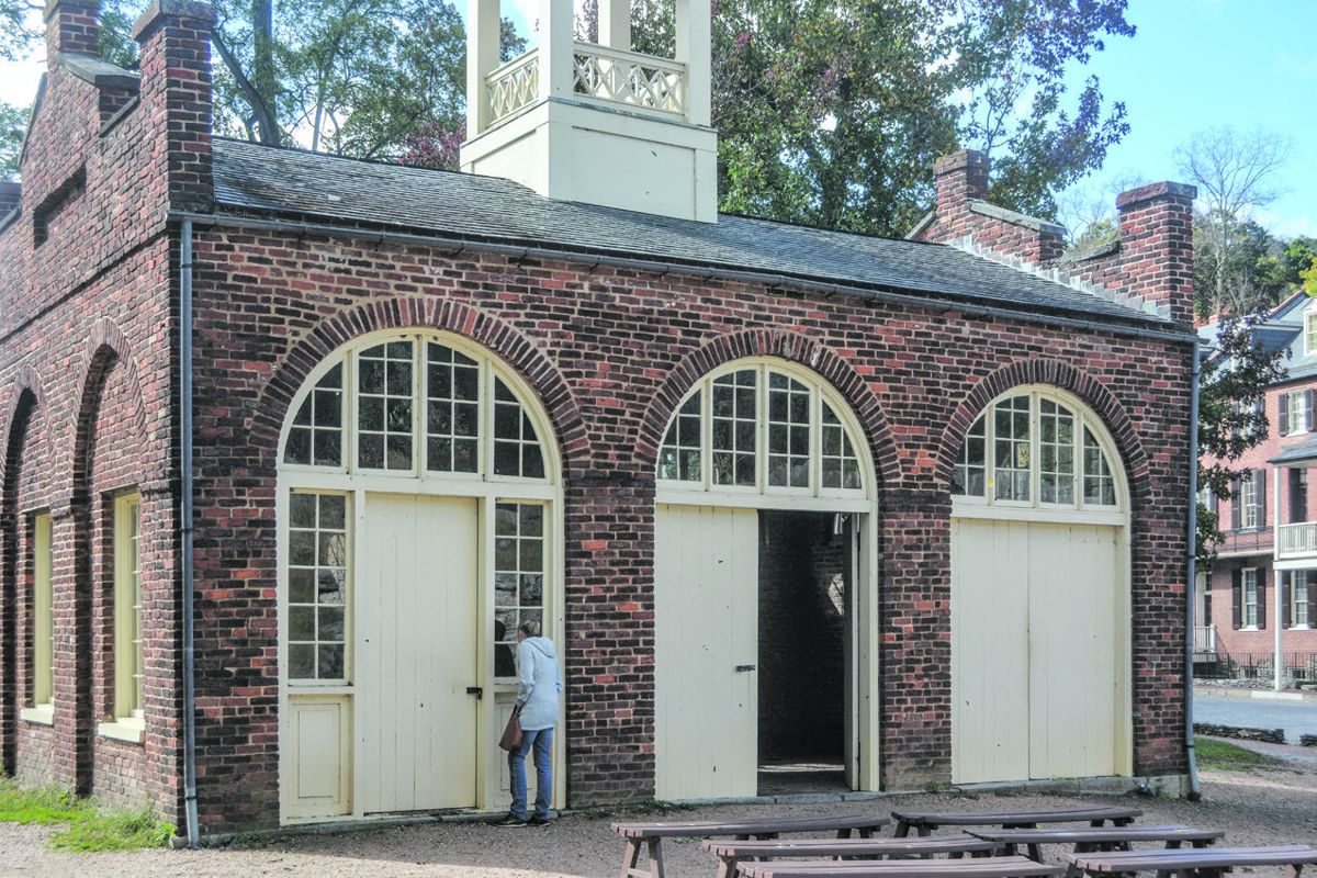
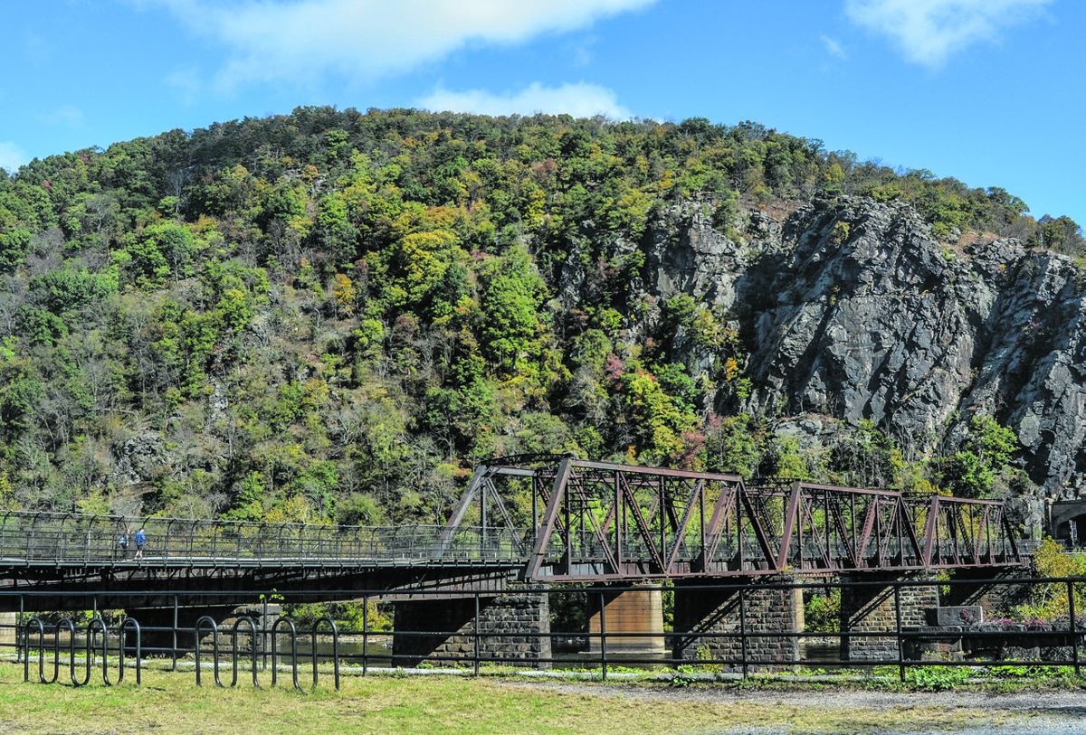
We’ll get to the battle later. First a review Harpers Ferry’s other offerings for the visitor. The confluence of the region’s two great rivers was a good location for factories in the early part of the industrial revolution. In 1799 the government began construction of the U.S. Armory where 62 years earlier Robert Harper had located his ferry across the Potomac. Other industrial facilities followed, and the town proved very significant to our country’s industrial development. According to a history prepared by the National Park Service, “New ideas about the interchangeability of manufactured parts were tried and tested in the armory’s workshops. The successful introduction of large scale manufacturing transformed Harpers Ferry from a quiet, rural village to one of the leading industrial centers of its day. In turn, the spread and adoption of these ideas and methods eventually led to the rise of the United States as a major industrial power.”* This site, however, was prone to flooding. In fact, some were opposed George Washington’s desire to locate the country’s second armory here for this very reason. Two cataclysmic overflows, one in 1870, the other in 1936, ultimately destroyed the town as an industrial center. Visitors can study Harpers Ferry’s industrial history in the museum on Shenandoah Street. The Chesapeake and Ohio Canal is also part of the nation’s industrial story. There is something romantic about the serene pace of canal travel: draft animals slowly pulling the heavily-laden boats through the still water, locks filling and draining to lift and lower the boats as they make their way up and down with the land’s changing elevations. Faced with competition from the railroad, the canal never made it to the Ohio River, and its name proved to be a misnomer. Speaking of the iron horse, the Baltimore and Ohio Railroad ran parallel to the canal, and then on past Harpers Ferry. The B&O reached the Ferry in 1837 as it stretched west to its Wheeling terminus in 1853. The rail line crosses the Potomac at Harpers Ferry, just upstream from the river’s confluence with the Shenandoah. The rail line is still used. The canal ceased operation in 1924. You can walk across the river on the railroad bridge’s walkway and see remnants of the canal and one of its many locks. Harpers Ferry is also an archaeological dig. We usually associate archeology with places like Egypt and Mesopotamia, but the science is also relevant to more modern civilizations. On Shenandoah Street a building has been turned into a fascinating display showing how buildings on one town lot were built, altered and replaced during the town’s history, and how different business establishments used the structures over time. Documentary research supplements the archaeological work to tell the story of this one piece of real estate and the people who owned it. Some of the foregoing may be news to CWN readers, but all will be familiar with John Brown’s Raid. The “fort,” “the engine house,” where Brown and his men holed up is located near the point at the town’s end where the two rivers meet. Built in 1848, the building was originally a firehouse. After the war it was moved for an exhibition in Chicago. On its return there were stops at a farm near Harpers Ferry and at Storer College on Camp Hill above the town. In 1968 the building was placed at this current site, near its original location. For a brick building, John Brown’s Fort has been remarkably mobile. Storer College was founded in 1865 as a school for freedmen. It started in one room of the
John Brown’s fort.
Lockwood House, a fine building on Camp Hill built in 1847 as the quarters for the Armory’s paymaster. Storer grew into a four-year, degree-granting institution, and operated until 1955. The Storer campus is now owned by the National Park Service and is part of the Harpers Ferry National Historical Park. Well, this column is in the Civil War News, so maybe we should say something about the town’s role in the war. Harpers Ferry changed hands eight times during the war. The most famous action was in 1862, when Lee’s army took the town during the Maryland Campaign. On September 13, separate columns took Loudon Heights and Maryland Heights. Stonewall Jackson forced the Federals from Bolivar Heights and closed the trap. On September 15, Union forces surrendered. The Confederates bagged 12,000 troops along with 13,000 rifles,
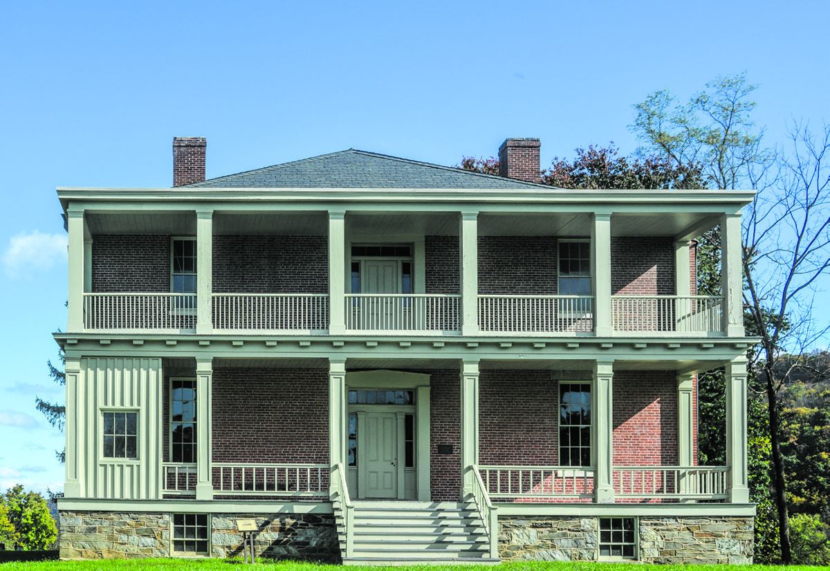
73 cannon and other supplies. After handling the surrender, A.P. Hill hustled his division 17 miles to Sharpsburg, arriving just in time to halt the Federal attack on the Confederate right. On Sept. 18, the Confederates withdrew from Harpers Ferry as, bloodied by the fierce battle at Sharpsburg, they re-crossed the Potomac into Virginia. Trapped in the crossroads of war, the people of Harpers Ferry found life there impossible. Nearly all the town’s 3,000 people were forced to leave. By war’s end only 100 remained. This picturesque town today is largely a place to visit, not to live. The lower town is part of the National Park. Up the hill there are shops and restaurants and (for this visitor) some nice places with ice cream. According to the 2010 census, 286 people live in Harpers Ferry. Keep walking up the hill and you will arrive in the more modern town of Bolivar, W.Va., home to about 1,000 people. That’s Bolivar. Not Bo-LEEvar. Bolivar. Rhymes with Oliver.
*The U.S. Armory and at Harpers Ferry, Prepared by Andrew S. Lee, 2006, https://www.nps.gov/ rap/archeology/pdfs/hafe_armoryhistoricresourcestudy.pdf. Gould Hagler is a retired lobbyist living in Dunwoody, Ga. He is a past president of the Civil War Round Table of Atlanta and is the author of Georgia’s Confederate Monuments: In Honor of a Fallen Nation, published by Mercer University Press in 2014.
He speaks frequently on this topic and others related to different aspects of the Civil War and has been a regular contributor to CWN since 2016. He can be reached at [email protected].